


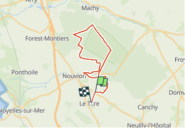

18,8 km | 22 km-effort


Utilisateur


Application GPS de randonnée GRATUITE
 SityTrail
IGN / Instituts géographiques
SityTrail World
Le monde est à vous
Randonnée V.T.T. de 26 km à découvrir à Hauts-de-France, Somme, Le Titre. Cette randonnée est proposée par marc6262.
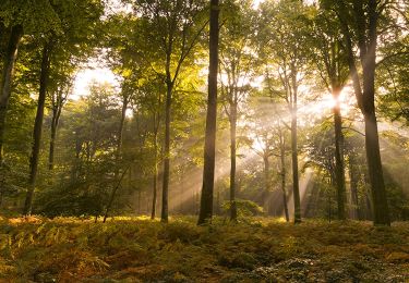
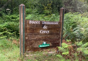
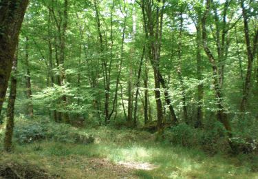
une belle ballade en foret
Singles tout le long des lisières
Chevreuils pas farouches !!
C'est plat mais dans certaines parties peu roulant.
Marche

V.T.T.
Marche
Marche

Marche
A pied
Marche
V.T.T.
Marche